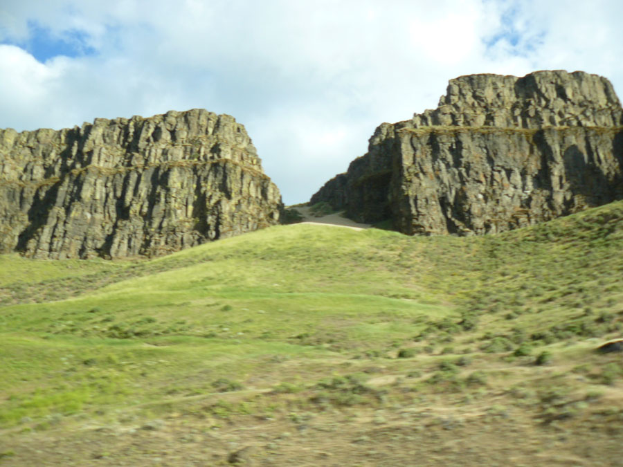
 Location Taken: Columbia River Gorge, Oregon
Time Taken: June 2010
I’ve been along the Columbia River Gorge twice now. Despite trying every time they went past the window, I still haven’t gotten a really decent photo of the cliffs along the road. It might be related to that “going past the window” aspect…. Nah, that’s crazy talk.
There are a lot of cliffs along there, and they are all quite pretty. But this is definitely one of those places where knowing how things formed makes them fifty times more interesting.
It all started with Glacial Lake Missoula. Glacial Lakes are formed when the ice from a large ice sheet happens to block the main outflow of the meltwater. Like any lake, the water builds up behind the ice. Most lakes find a stable point, and for many years, so did Lake Missoula.
But ice is different from rock. It melts at the temperatures found on Earth.
And when it did, the dam broke. And the massive lake emptied. And the water had to go somewhere.
It followed the small stream formed by what little water got over the ice dam, but it could not hold all of it. It overflowed in some areas, and condensed itself in others. And when water condenses itself, it moves faster, and it tears the rock from the walls. Enough water flowed through that stream that it became the massive canyon, with high sheer walls, that forms an easy route through the Cascade mountains today.
Others just see the rock peeking out on the sides of the rock, and think they’re pretty. I look at them, and I see a massive flood filling the canyon in an exuberant dance of water and ice and rock. I like my version better.
