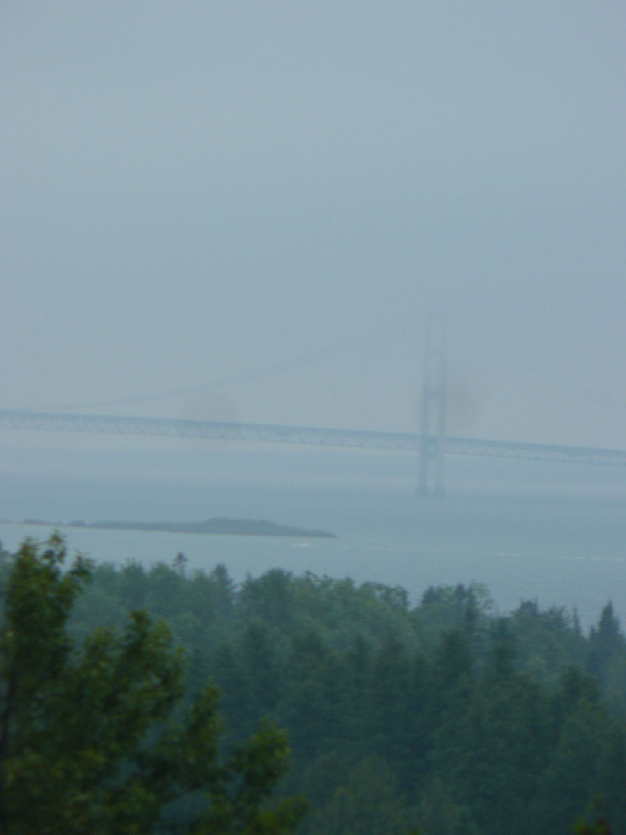
 Location Taken: Rest area in Michigan
Time Taken: June 2012
It was a rainy day, driving back from a family reunion in Wisconsin to my Grandparent’s place in Michigan. If we could grow wings and fly back, it would only be about 125 miles, about two hours or so travel. But, alas, there is a lake in the way. A rather large lake. If you go south, it’s 500 miles (and have to go through the mess that is Chicago), but north is only about 440 miles. That’s still more than three times as long as the straight shot (which would have been possible when there was a ferry line across Lake Michigan out of Frankfort, which isn’t too far from my Grandparent’s house. But for the current time, heading north into the Upper Peninsula is the best option.
It’s a pleasant drive, especially since there’s not much traffic. The Upper Peninsula (or UP, as the natives call it), is sparsely populated. There’s one 40-mile stretch with barely anything on it at all (it’s long and straight too, so it’s noticeable), so it can be tough to find food and lodging if you start looking at the wrong time. And that’s even with the normal buildup of services along the main roads through the area!
In order to get from the Lower Peninsula to the Upper, there’s only one option: the Mackinac Bridge. Well, theoretically there’s a few ferries, but still… It is an eight kilometer long bridge (combination suspension and causeway, for those bridge fanatics out there (I’m looking at you, Mom)) crossing the thin Straits of Mackinac between tips of the Lower and Upper Peninsulas. Mind you, that’s pronounced “Mack-i-naw”. The C turns into a W sound. Don’t ask why, it’s a confusing mess of a native word filtered through French immigrants trying to spell it in the days before spelling standardization became a thing picked up by the English-speaking people who eventually became dominant in the area.
It’s a marvelous bridge, and I always love seeing it. The view from the south side isn’t too impressive. You come in to it head-on, so it’s all scrunched-looking. But from the north, the road goes along the lakeshore for a while, so you get some really nice views of it.
Even when it’s rainy and the clouds are low, it’s an impressive sight. We’d stopped at a rest area just barely within sight of the bridge to swap drivers, and I had to take a few photos. I had to use a strong zoom, which adds in blur and a high chance of other issues (especially horizon tilt), but getting a photo of this beautiful and important bridge was an opportunity I wasn’t going to miss.
Random trivia time! Did you know that in Michigan (or at least the more northern parts of it), people from the UP are known as Yoopers (say UP again if you don’t get it), people in the Lower Peninsula are Trolls (they live under the bridge, you know), and tourists are Fudgies (there are a lot of great fudge shops in Northern Michigan, and the tourists flock to them)?
