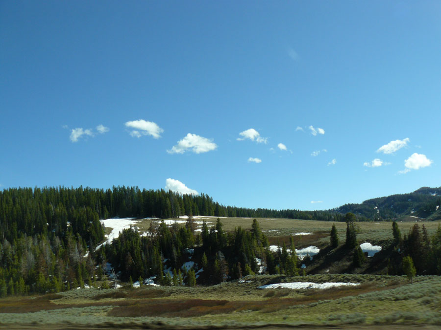
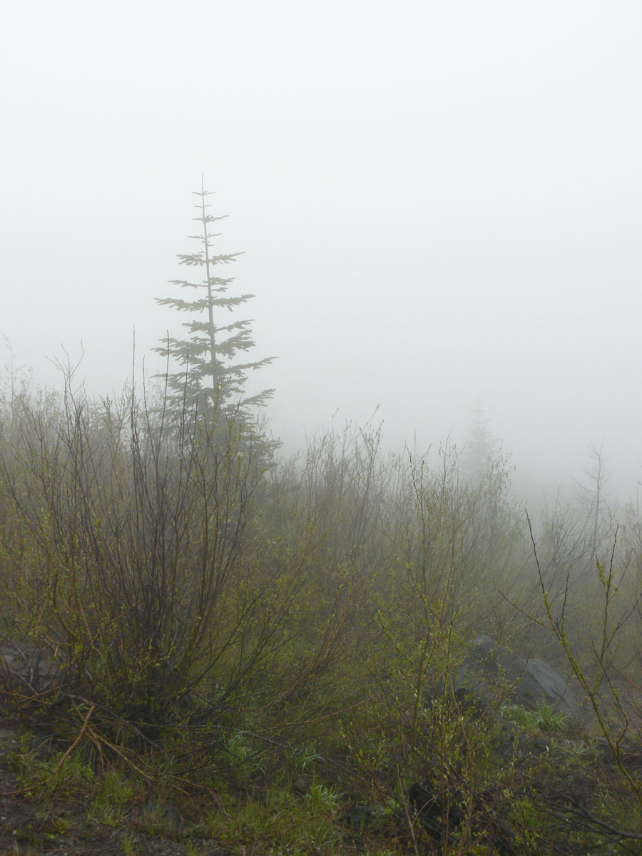
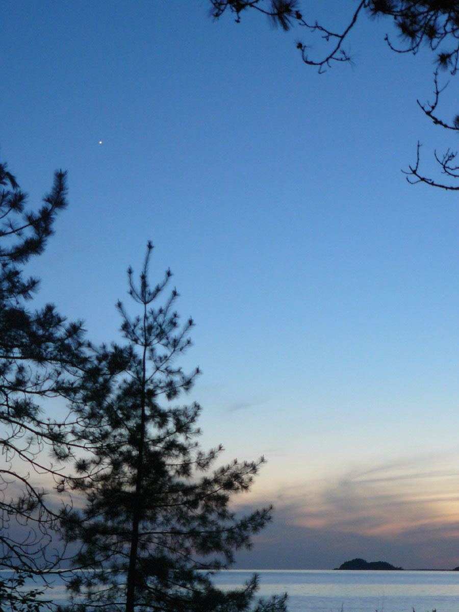
 Location Taken: Wyoming, to the southeast of Yellowstone
Time Taken: June 2010
The land looks a bit different at the continental divides. Especially the major ones.
Continental divides, in case you didn’t know, are lines where water that falls on one side of the line flows one direction, say to the Mississippi River, and a different direction on the other side, like the Atlantic ocean. They’re the local high spots, running along the top of a lot of ridges. Sometimes these are subtle. Where Interstate 80 goes through southern Wyoming, the land is flat enough that the divide is barely noticeable. In fact, there’s two divides right there, with a basin in between where the water that falls in it stays in it.
This particular one’s more noticeable. It’s high enough to still have snow in June, after all. The snow melt feeds the small streams that pop up just a little downhill. Here, though, the water flow looks very minor. Just a trickle as the snow melts in the sunlight.
On the western side of this divide, the melted snow heads down to the Snake River as it winds its way through Grand Tetons National Park. The water goes through the large flat Snake River Plain (I’ll give you zero guesses as to why it’s named that), in Idaho. It was carved out by the Yellowstone hot spot, as supervolcano after supervolcano blasted away the mountains over millions of years. On the other side of Idaho, the plains peter out, and the river wiggles its way through the mountains, heading north. It forms the border between Idaho and Oregon for a long ways, then heads up into Washington. After swinging back towards the south, it meets up with the Columbia River, which flows out into the Pacific ocean near Portland, Oregon.
On the eastern side, a different melted snowflake heads into the Wind River, and passes through glorious canyons while seeking a path through the uplifted Wyoming mountains. It actually cuts right through a few mountain ridges. When the river first formed, the land had been flat. Then geologic forces started pushing the land upwards, and the softer stones that were in the valleys eroded away faster than the hard stones of today’s mountains. But it was a slow process, and the river could cut through the hard stone faster than it was rising above the valleys around it, and it just stuck to its old path. Time and the forces of water literally chopped a few mountain ridges in half.
But that’s a bit of a tangent. The Wind River becomes the Bighorn, which flows into Yellowstone River, flowing from the large lake in Yellowstone National Park. The river is already large as it flows into the Missouri River on the border of North Dakota and Montana. The Missouri flows into the Mississippi and out at New Orleans, forming the longest river in North America.
Two snowflakes, formed in the same cloud, falling on two sides of the same mountain, have very different journeys. One ends up in the Pacific, the other in the Atlantic. They flow into the oceans at spots over 2000 miles from each other. They flow over 4000 miles across the continent. One sees mainly mountains, the other vast plains and great cities. Both become part of mighty rivers.
The two snowflakes, siblings from the storm, will never meet again. The oceans are too vast for that to happen.


