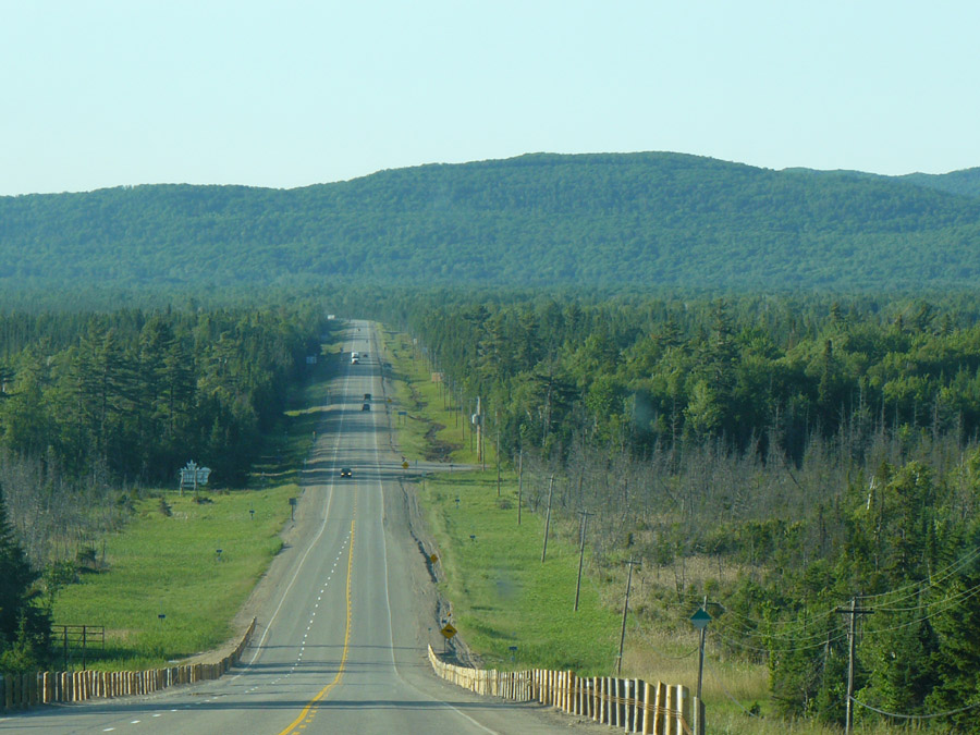
 Location Taken: Ontario, Canada
Time Taken: June 2010
I find myself oddly defeated by my attempt to locate where this picture was taken. I suppose it is rather generic, just like the last time this happened. But this does seem like a place I could locate using Google maps and streetview like I usually do. But it’s in a rather rural area, on the Trans-Canada heading north out of Sault Ste. Marie, and neither the satellite pictures nor the streetview are adequate for the job. The satellite pictures are low-res, which is common for rural areas, and the streetview car went through in winter, so all the trees looked very different. And I’m nearly too sleepy to write, so I’m having to give up locating it.
I have a fondness for rural highways. I suspect it’s a side effect of my wanderlust. There aren’t really anything that you could call a rural highway around here, where it’s too packed with people to get long stretches of empty road. So any time I encounter such roads, I’m on a trip.
I really do get wanderlust, it’s not just a turn of speech. It’s an odd feeling inside me that demands to see something I haven’t seen before, places far from the paths I normally tread. I get bored with the routine and yearn for the new. Or at least the rarely seen. At least I can usually assuage it with exploring something new in a video game, so I’m not spending every cent I have on road trips. Still, that only holds me so long.
I’ve got an odd relation with vacations. My family very rarely goes to see something. Instead, we go to see someone. Our trips are to visit friends and relatives, so we usually tread the same general paths. Still, with a family full of map nerds, we do stop at some of the nifty things along the way at times. Well, that and my Mom can’t stand stop-and-go traffic, so we get off the main road at the next exit when we encounter such an annoyance. I’ve had to do emergency navigation more times than I can count. Which means pulling the relevant book of maps out of the large stack of maps we keep in the car and finding a new route between where we are and where we’re heading. It can get a little hectic at times, since we don’t usually bother stopping anywhere and they may have passed the best routes already. That’s not too common, though, since there are clear visual differences between roads that connect towns and those that just head off to random houses. Signage, traffic, even how the road is paved tell a story of what type of traffic goes along the road. If you can catch the clues, it’s possible to navigate your way through an area you don’t have a map for without too many missteps. I’ve done it.
When I hear of people who follow their GPS to stupid extremes, it boggles my mind. I can understand intellectually that very few people have anywhere close to my sense of location and mapping, but it just doesn’t really sink in fully. I’ve been called a “Living GPS” and “Better than GPS” by people I’ve navigated for. Really. There’s a part of me that just doesn’t understand that not everyone is constantly watching and analyzing the world around them. Oh, and before you think I’m just bragging (which I am), there are a lot of equally important things I just can’t wrap my head around, mainly just about anything social. Or involving government and politics. And I can’t whistle at all, despite trying on and off for years!

My wanderlust is kicking in again too. So think about what you might want to wander to see on the way to Grandma’s and a reunion in Wisconsin.
As to the road, this site has a nice explanation why it’s so lonely.
http://transcanadahighway.com/Ontario/TCH-ON-E5.asp?segment=22
I know we stopped at Chippewa Falls because of the plaque declaring it the mid-point of the Trans-Canada Highway. I like plaques like that.
…Why do I keep reading that as plague rather than plaque?